
5
1

Illustrated Atlas of India: A Visual Guide to the Land, Its People and Culture
128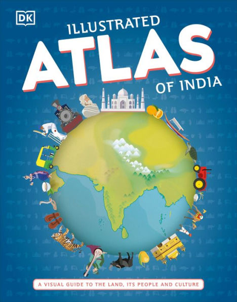
Illustrated Atlas of India: A Visual Guide to the Land, Its People and Culture
128Hardcover
$17.99
17.99
In Stock

Product Details
| ISBN-13: | 9780744025163 |
|---|---|
| Publisher: | DK |
| Publication date: | 11/17/2020 |
| Pages: | 128 |
| Sales rank: | 541,696 |
| Product dimensions: | 8.60(w) x 11.10(h) x 0.60(d) |
| Age Range: | 9 - 12 Years |
About the Author
From the B&N Reads Blog